salita all’Agner
VIA/FERRATA del CANALONE
Approach
Suggested starting point: Rifugio SCARPA Agner
Suggested arrival point: Rifugio SCARPA Agner
Difficulty EEA - II - PD- AR
Duration 3:00/4.00 h (ascent only)
Elevation gain D+ 1.150 m
Highest point 2.872 m MONTE AGNER
Lowest point 1.735 m Rifugio SCARPA Agner
Maps
Cartografia: carta TABACCO 022
ATTENTION: Until the end of July there is usually still a lot of snow inside the couloir. For this reason it is recommended to have a pair of crampons and an ice ax with you.
OVERVIEW
Beautiful climb to the highest peak on this side of the Pale di San Martino. A very broad panorama along a challenging but extremely satisfying climb.
ITINERARY DESCRIPTION
Via del Canalone (or via ferrata del Canalone) is not a real via ferrata.
There are 5 equipped sections (two of which are challenging and three are easy), it is an alternative to the normal route as it is more direct and shorter.
The route runs along the right side (orographic left) of the snow-covered couloir clearly visible from the refuge (while the via ferrata Stella Alpina initially climbs on the left side of the same).
From Rifugio Scarpa, follow the signs for via ferrata Stella Alpina, but do not abandon the path under the wall to the left (following the yellow-red marks), but continue for a few minutes until the evident snow strip which must be crossed to the right until to the point where the right shoulder of the couloir (going up) slopes down onto the snowfield.
Begin the climb on steep trail tracks to soon encounter the first equipped section to go up with not very easy climbing.
Continue following the rope until an easier section where it stops. Climb up to the nearby ridge equipped with a short stretch of rope. Then continue on the path until you reach a pillar (go around it following the metal cable) and then go up it on the opposite side to the one that juts out into the couloir.
Once out of this section there is a long climb on unstable and rocky terrain (and another simple and short equipped section). Follow the red signs until you reach the normal route Go left at the crossroads (on the right you go down the normal route) and on easy rocks go up to the fork where the bivouac is.
Up to here about 2 hours.
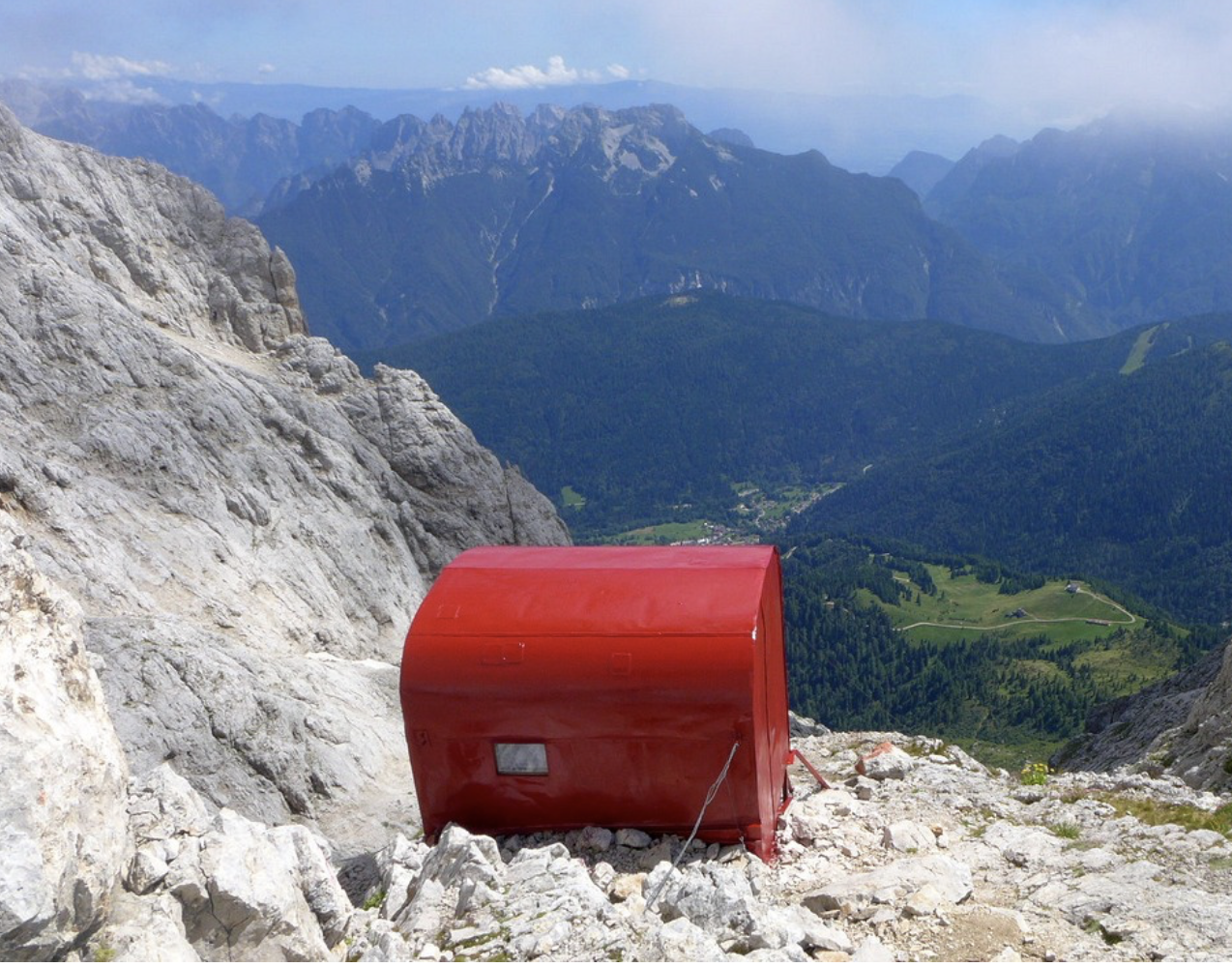
FROM BIVOUAC BIASIN TO THE SUMMIT
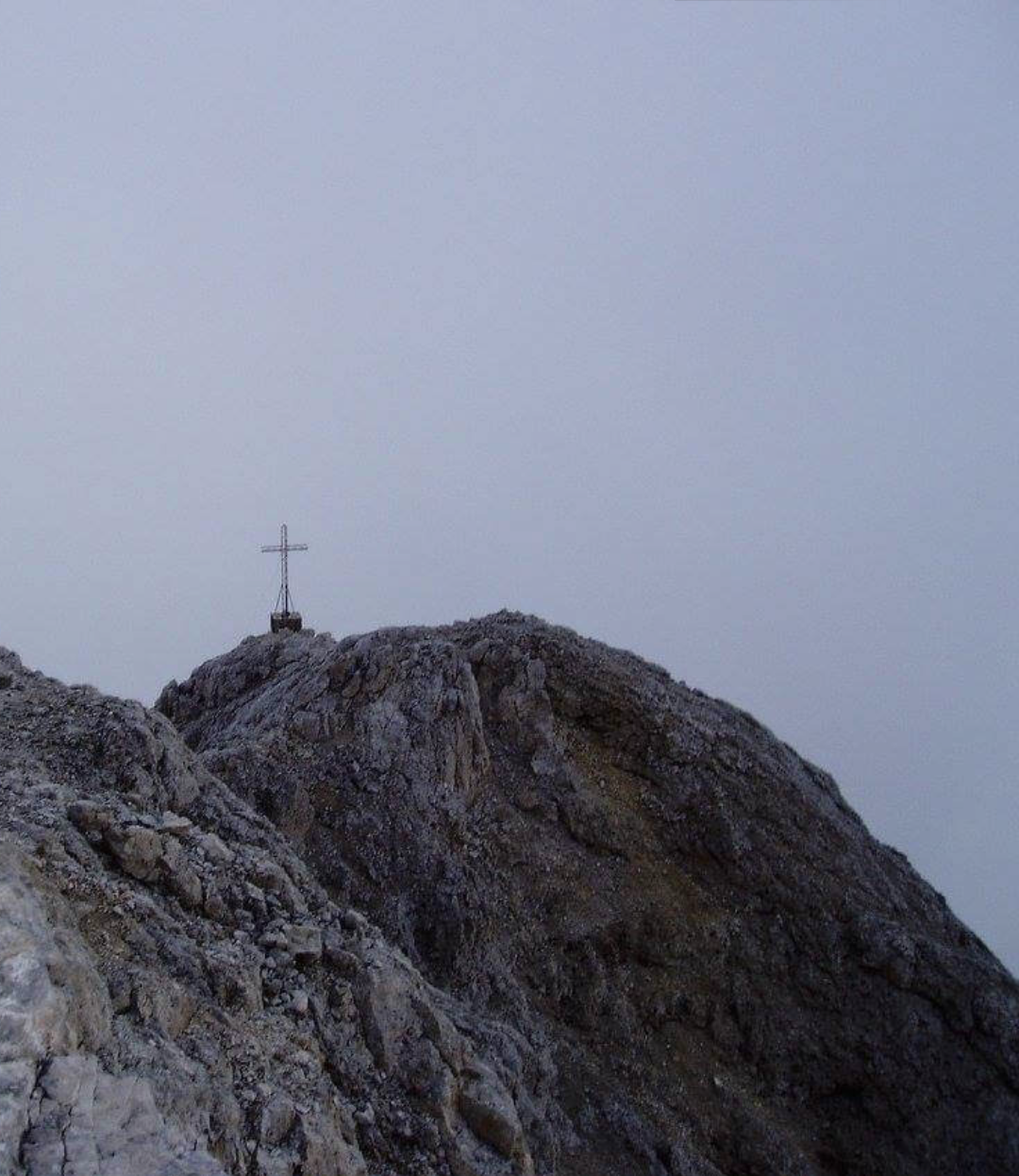
Climb to the top from the Biasin bivouac: right behind the bivouac, metal cables immediately begin which lead you up and across to the left. Three or four very exposed sections follow each other in rapid succession (one of which is downhill). At the end of the last stretch the ropes end inside a small channel; on the left you can see two sloping rocky ramps: the upper one is very wide and steep, the lower one is narrower and less steep. You must exit the couloir (5 m) and continue for a few meters on the lower ramp and then turn right and with a narrow zig-zag on rocks (I+) move to the upper ramp. Be careful with poor visibility not to be tempted by the lower ramp as it falls into the void between the N face of the Agner and the Armena Tower. Go up the upper and very wide ramp for approximately 20 m of altitude difference. Once out of the ramp, turn right following a red mark but you will find yourself in front of a crack about 80 cm wide and several tens of meters deep. Climb up keeping to the right of the crack on a narrow ledge (very exposed), continue for a few meters until you find a comfortable point to pass to the other side with a firm step. Still without seeing any stamps or signs, you must climb up the small wall of about 15 m against which you are leaning (climbing to the left of the crack) with passages of II. Once out of the small wall you can once again glimpse signs and cairns and a metal rope. Climb up along tracks and rocks until you come across a stretch of metal cable that allows you to reach the ridge that leads to the top. Once you have left the equipped section, you go up again along tracks (marks and clearly visible cairns) and I+ passages until you reach the summit of Mount Agner with a wooden plaque.
From bivouac to the summit: 45 min
DESCENT:
The same as the climb until the bivouac. The via ferrata downhill is not recommended, the choice is between the normal route and the couloir route (if you choose the couloir route, do not abandon the path and be misled by dubious red paint signs, but follow the entire route to the end. Pay attention to the snowfield which at a certain point on the descent might seem like a rapid descent route; in reality it has notable slopes, emerging stones, crevasses).
PLEASE NOTE:
Pay great attention to the weather conditions: absolutely avoid in case of bad weather and with poor visibility. In particular, the last part to the top poses orientation difficulties and requires attention.
As regards the via ferrata (but also the couloir route), the risk of falling stones is particularly high due to the not always good rock and the verticality of the route.
Please be always careful in moving stones that could hit people waiting to start the via ferrata.
A piece of rope is useful for securing.
The difficulty described in the report relates to the climb along the normal route, the via ferrata has very athletic passages and is generally challenging, while the couloir features III+ sections alternating with easy or walking sections.
© VieNormali.it

ROUTE MAP